
CCC Climate Safe Streets
Raising the ambition for decarbonising transport. Presented by Steve Prowse at CCC meeting on 25th October 2021
Reports written by Camden Cyclists committee members for use in our campaigning
Raising the ambition for decarbonising transport. Presented by Steve Prowse at CCC meeting on 25th October 2021
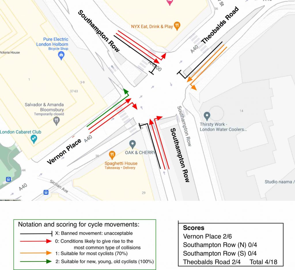
We have applied the Junction Assessment Tool from Cycle Infrastructure Design LTN 1/20 to find a score of 4/18.
Audit of Chalk Farm Road cycle tracks
Write up of walk through on 24th June 2021
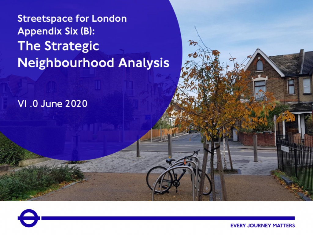
Full screen map [Use sliders at top right of map to vary transparencies of the layers] The above map overlays the existing LTNs in all London boroughs (taken from this map as at 18 March 2021) over TFL’s Overview diagram taken from their Streetspace funding and guidance report, Appendix Six (b) Strategic Neighbourhoods
Audit of Prince of Wales Road eastbound cycle track
An additional 850 m high-quality link added to the cycle network; Bus stop bypasses; Junction improvements at Malden Road and Haverstock Hill; Good integration with side roads; Blended junctions at every side road on both sides of PoW.
A write up of some work done by George Coulouris for the LCC Policy Forum on defining ‘Quiet Zones’ a predecessor to what are now called ‘Low Traffic Neighbourhoods’. Includes some detail on the origins of Primrose Hill’s quiet streets.
Cycle campaigners often use code to mine for the key data needed to support road changes. We have built and shared some tools and customised maps to help with that.
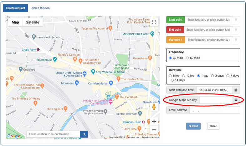
The Traffic Analysis Tool conducts surveys of estimated motor vehicle journey times taking account of traffic congestion as estimated by Google Maps. The tool accepts a request for a specific route and collects Google’s predicted motor vehicle driving time repeatedly over any period of duration between 6 hours to 14 days. Full instructions for use